
 |
| a section of Hunter St. Lake historically known as Hester's Branch |
 |
| Ye Olde Mint with Frank H. Stewart Electric Co. on right |
 He went on to amend his early action by such acts as becoming the president of the Gloucester County Historical Society, the establishment of a room and vault for county historic records known as Room 202 in the Gloucester County Courthouse, and the purchase of the Hunter-Lawrence-Jessup house to serve as the Gloucester County Historical Society's museum. He also published many historic books on Woodbury and the surrounding area, such as "A brief account of Woodbury Creek Dam" in 1919. He had his home, the beautiful Georgian Revival at 510 Cooper St., Woodbury, built in 1914. It was designed by local architect Charles R. Peddle who was also responsible for 275 Cooper (Judge Starr home), the harmonious west wing addition to the City Hall building, the Gloucester County Building (across from Friendship Firehouse), the high school and many other early 20th century structures around town. It was originally named "Rugby Pines" but is now commonly referred to as the "Rowan House" as it was purchased by Rowan University in 2000 for the their president to live in.
  |
| "Rugby Pines" 510 Cooper Street |
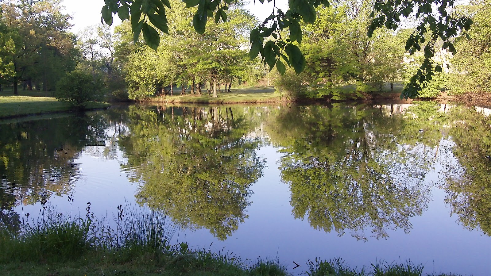 |
| a section of old Hester's Branch |
 |
| Hunter Street Lake and Bird Sanctuary |
 Before the establishment of the lake system, Woodbury's waterways were defined by the natural formation of the various runoffs from the main Woodbury Creek tributary of the Delware River, such as Hester's Branch (see Hopkins, 1877 map below.) In 1959 Trustees of the estate of the late Frank Stewart donated approximately 20 acres of undeveloped land along E. Red Bank Ave to the City. They also donated north from Hunter St. to the railroad bridge, a section of Hester's Branch, for a game refuge and bird sanctuary in 1962. This area beside natural growth was landscaped previously by a Conservancy group with white and red dogwoods, willows, oaks, maples, birches, hawthorns, hemlocks, Douglas fir, cedars, cypress, Franklina, white pine, Austrian pine, hollys, and other varieties of trees and shrubs. The Frank H. Stewart Memorial Lake and Park project was finished in 1964. Stewart was also responsible for the later care and replanting of the infamous Lover's Lane, near "Rugby Pines." This particular lane was popular with the local couples as it provided a romantic and shady place to step out. The image (see below) was reproduced often on postcards of the day.
 |
| a section of an 1877 map of Woodbury showing natural creek formation before lake system development (Hopkins, 1877) |
 |
| trying to make sense of it all... (Woodbury, 2012) the small lake below the Cooper Street marker was historically known as Green's Lake. |
Frank H. Stewart room . (n.d.). Retrieved from http://www.rowan.edu/mars/library/policies_services/special_collections/stewart.htm
Hopkins, G. M. (1877). City of Woodbury: Gloucester county [map]. In G. M. Hopkins, Atlas of Philadelpia and environs. Philadelphia: F. Bourquin steam lithographic press. (pgs. 48-49).
Woodbury, NJ. (1963). Woodbury, New Jersey annual report: Lakes, parks and recreation. Woodbury, NJ.
Woodbury, NJ. (29 Apr. 2012). Google Maps. Google. Retrieved from http://maps.google.com/maps?q=stewart+lake+woodbury,+nj&hl=en&ll=39.841166,-75.141764&spn=0.033479,0.079823&sll=37.0625,-95.677068&sspn=35.357014,81.738281&t=h&hnear=Stewart+Lake&z=14
2 comments:
I enjoyed reading this article! Are you writing for th times? you shou;d be!
susette
Thanks for this post. My home looks out on the lake (your first pix) from Holroyd Pl. I was really pleased to read this info - the lake system is one of the reasons we bought our home.
Post a Comment